
View All Southwest Idaho Adventures
Weiser River Float
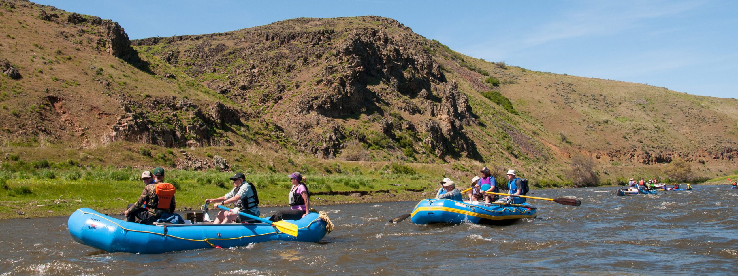
What the float is like: Southwest Idaho’s Weiser River offers a fun, family-friendly raft trip in April and early May. The most commonly run section is from the town of Midvale to the Galloway Diversion Dam. It’s a 22-mile section with fun Class II+ wave trains for several miles when flows are between 1500 and 2500 cfs. At higher flows, Class III hydraulics and waves usually appear.
Put-in and take-out: The put-in is an unpaved ramp on the river left bank, immediately upstream of the Midvale bridge. The float meanders for several miles through private agricultural lands, before narrowing into the canyon section-more than 7 miles of fun, splashy wave trains and a few hydraulics. The take-out is a concrete ramp on river right just above the Galloway Diversion Dam. The ramp is approximately 1 mile downriver from the Presley Trailhead and parking area. There’s room for a handful of vehicles near the take-out ramp. Otherwise, park vehicles at the Presley Trailhead, and a drop off a passenger as you float by to drive down and meet you. Want someone to run your shuttle? Contact the Colonial Motel in Weiser at 208.549.0150 or the Frontier Motel in Cambridge at 208.257.4000.
Camping: This section is typically run as a day trip, however, primitive camping is possible. There are no designated campsites, so be sure you’re on public land, and bring all your drinking and cooking water, as well as everything you’ll need to Leave No Trace-including a portable toilet! Check out the map for campsite ideas.
When to go: Best flows for floating are above 1500 cfs at the USGS Weiser River at Weiser gauge. Any less than that, and it’s a real push to make the trip in a day. At 1500 cfs, expect to spend 8 hours on the river. At 2500 cfs, expect to spend 6 hours on the river. Locals will tell you there is no upper flow limit, but as with any river, boaters should always check conditions beforehand and only boat to their personal skill level.
Risk: You can check with the Washington County Sheriff’s Office for any known river safety condition information. Bear in mind that this is a wild, unpermitted river, and no entity is tasked with keeping it safe for recreational purposes. We’ve made every effort to ensure this information was correct at time of publishing, however conditions may have changed. Recreating on rivers involves inherent risk, and all river recreationists assume that risk voluntarily.
Directions: From Interstate 84, take exit 3 for Hwy 95. Travel approximately 40 miles on Hwy 95 until you arrive in Midvale. Turn right on Bridge Street. Cross the bridge and take your first left to access the unpaved put-in just upstream of the bridge.
View a map of the Weiser River (right-click to save image).
Location
Midvale to Presley Trailhead or Galloway Diversion Dam
Distance
22 river miles
Elevation
2500 ft - 2300 ft
Difficulty
Moderate
Maps
See map linked at left