
View All Central / East Idaho Adventures
Murdock Creek
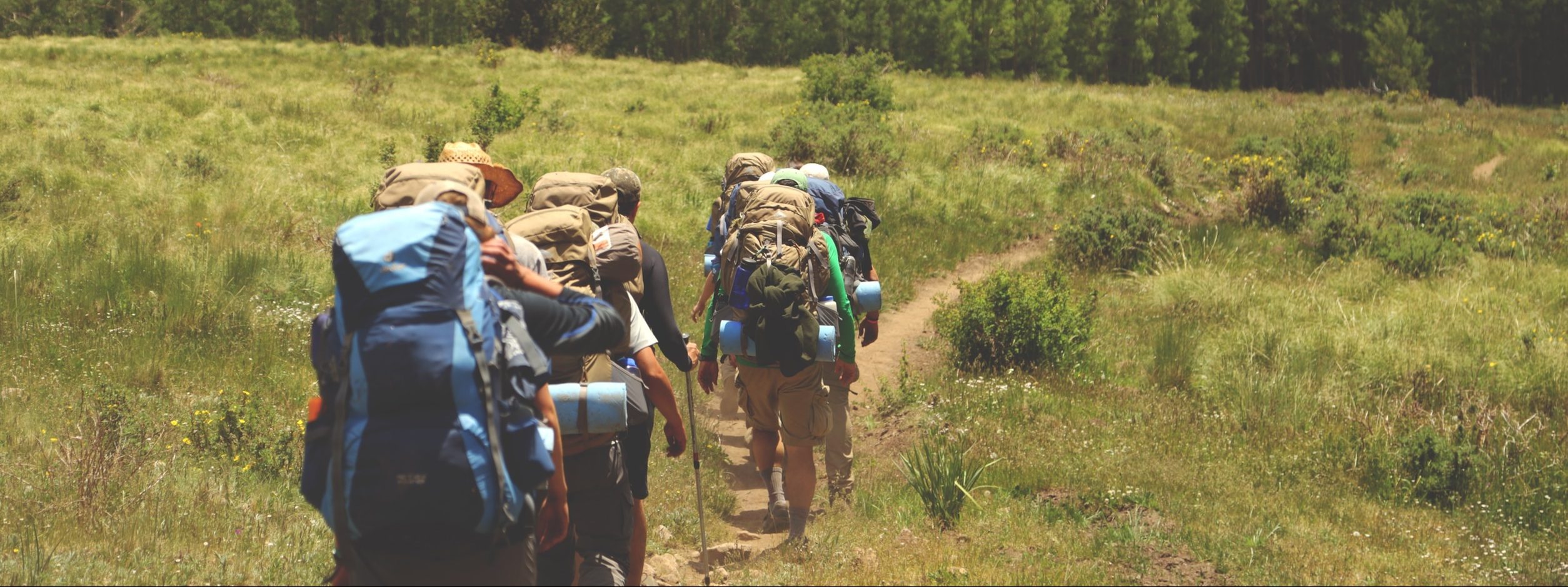
The trail follows the creek on its left side in an area filled with sagebrush. The trail fords the creek to the right, at .2 mile. At 1 mile ford the creek to the left. The trail climbs up about 50 ft. above the creek at 1.3 miles. It winds along the steep canyon wall. At 1.5 miles the trail drops down again.
Follow the trail first through an area filled with douglas firs and then through cottonwood trees. At 2.7 miles, the trail drops down through the canyon to ford the creek again in an open, gravelly place.
After fording the creek, the trail begins turning away from the creek and veers to the left. On this side, there’s a flat place in the forest that’s good for camping. At 3 miles prepare to ford the creek, to the left, one last time. Continue on the trail as it curves with the main canyon. The official trail ends at 3.5 miles, but you can find paths up the hillside.
Directions:
Begin at Sun Valley Road in Ketchum. From there, drive north on highway 75 for about 7.5 miles. Turn right at Sawtooth National Recreation Area office onto North Fork Big Wood River Road. Take another right on Murdock Creek Road at 1.2 miles. The parking area is about .5 mile away.
Location: Hemingway Boulders Wilderness, Boulder-White Clouds
Status: Designated wilderness
Maps: Sawtooth National Forest, SNRA, Ketchum & Fairfield District
Location
Boulder-White Clouds
Distance
7 miles round trip
Elevation
1,060 ft
Difficulty
Moderate
Status
Proposed Wilderness
More Info
Trails of the Sawtooth and White Cloud Mountains by Margaret Fuller