
View All North / North Central Idaho Adventures
Lake Darling-Mount Pend Oreille
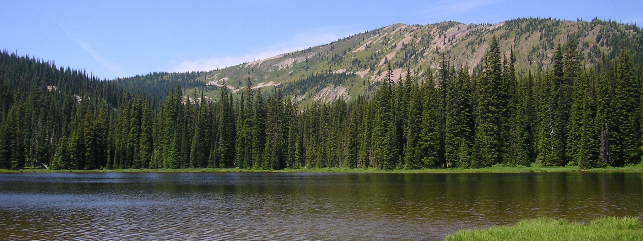
The West Cabinets are bisected by a series of subalpine peaks, stretching nearly 20 miles, that form a ridge known as the Pend Oreille Divide. At 6,755 feet, Mount Pend Oreille stands as the crowning summit of this formation and offers royal views to match. From the top, hikers can glimpse Sandpoint and the northern shore of Lake Pend d’Oreille, the Selkirk Crest, Mount Willard and the Cabinet Range.
Lake Darling, which sits at the southeastern foot of Mount Pend Oreille, marks the headwaters of Lightning Creek (connecting the lake to a chain of three other alpine lakes). To get to Lake Darling, hop on Trail 52 and hike 2 miles to the slightly elevated site (~700 feet) of its boggy shores. To make the trip a 4-mile out-and-back, hikers can turn around here and return to the trailhead.
Continue west on Trail 52 around the north side of the lake to reach the intersection with Trail 67 for a side trip to Mount Pend Oreille. To reach the top, make a right and cross along the western slope to the northwest ridge of Mount Pend Oreille. Return to the junction with Trail 52 and continue south on Trail 67 along a ridge to Lunch Peak (which has road access and a one-story lookout available for rent through the Sandpoint Ranger District). Head east at the junction with Gordon Creek Trail 161 and travel 2 miles down to the trailhead.
Directions:
From Sandpoint, head east on Highway 200 toward Clark Fork about 12 miles. Just east of milepost 42, turn left (north) on Road 275 (Trestle Creek). Drive about 16 miles (passing a small campground at 4.4 miles and the turn to Lunch Peak Road 1091 at about 12 miles) and turn left onto Road 419 (Lightning Creek). Go another mile to a parking site just below the trailhead for Trails 52 and 161.
Maps: Google Maps; USGS Quad – Mt. Pend Oreille; USFS Trail #52 Map; USFS Trail #52 Elevation Profile
More information: Trails of the Wild Cabinets, 2nd ed.
Location
Cabinet Mountains
Distance
4 to 8 miles round trip
Elevation
2,150 ft
Difficulty
Moderate
Status
Unprotected
More Info
USFS Idaho Panhandle National Forests-Lake Darling Trail #52
http://www.fs.usda.gov/wps/portal/fsinternet/!ut/p/c4/04_SB8K8xLLM9MSSzPy8xBz9CP0os3gDfxMDT8MwRydLA1cj72BTJw8jAwjQL8h2VAQAzHJMsQ!!/?ss=110104&ttype=recarea&recid=6806&actid=62&navtype=BROWSEBYSUBJECT&position=BROWSEBYSUBJECT&navid=110340000000000&pnavid=110000000000000&cid=null&pname=Idaho+Panhandle+National+Forests+-+Lake+Darling+Trail+%2352