
View All North / North Central Idaho Adventures
Johns Creek Trail System, Blue Ridge Route
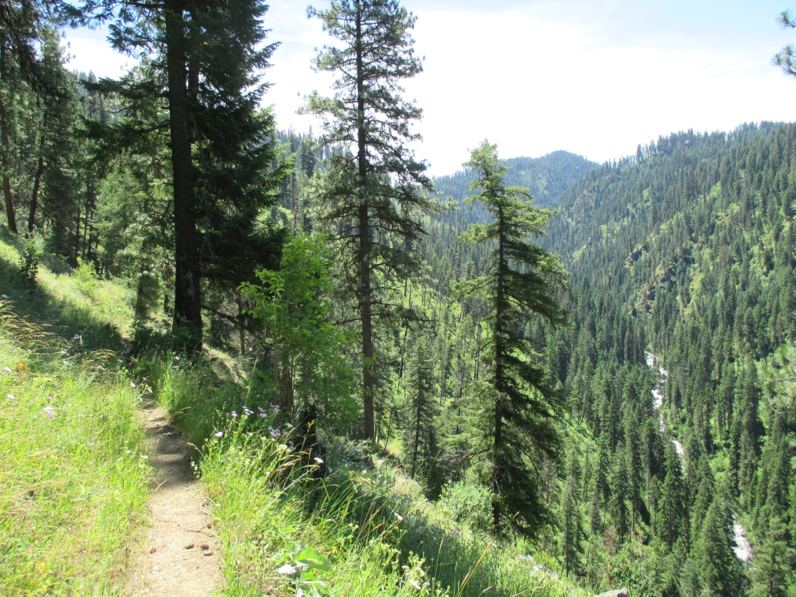
Several trails are accessible from this trailhead, which can be used for either a short day hike or a multi-day backpacking trip. Selected trails pass through the scenic Gospel Hump Wilderness.
A 10-mile loop can be made by taking Trail #478 to its end, cutting west on Trail #401 to the Gilmore Ranch, and back to the South Fork Clearwater River on Trail #407. This system is frequently used by horseback riders. Water is not available so hikers should carry an adequate supply. – Nez Perce National Forest
Directions:
From the east end of Grangeville, turn south on the Grangeville Salmon Road. Follow the road left at the drive-in theater toward the small town of Mt. Idaho. Continue on the Mt. Idaho Grade, and junction with State Highway 14 headed toward Elk City. About 21 miles from Grangeville, look for a Forest Service sign alerting you to Johns Creek and a footbridge crossing the South Fork Clearwater River. – Nez Perce National Forest
Location
Johns Creek Loop
Distance
10-mile loop
Elevation
2,400-6,800 ft.
Difficulty
Moderate
Maps
Nez Perce National Forest Map
Status
Nez Perce National Forest and Gospel Hump Wilderness
More Info
Nez Perce National Forest
http://www.fs.usda.gov/wps/portal/fsinternet/!ut/p/c4/04_SB8K8xLLM9MSSzPy8xBz9CP0os3gDfxMDT8MwRydLA1cj72BTJw8jAwjQL8h2VAQAzHJMsQ!!/?ss=110117&ttype=recarea&recid=16588&actid=51&navtype=BROWSEBYSUBJECT&position=BROWSEBYSUBJECT&navid=110160000000000&pnavid=110000000000000&cid=FSE_003714&pname=Nez+Perce+National+Forest+-+Johns+Creek+Trail+System%2C+Blue+Ridge+Route