
View All Central / East Idaho Adventures
East Fork North Fork of the Big Wood River
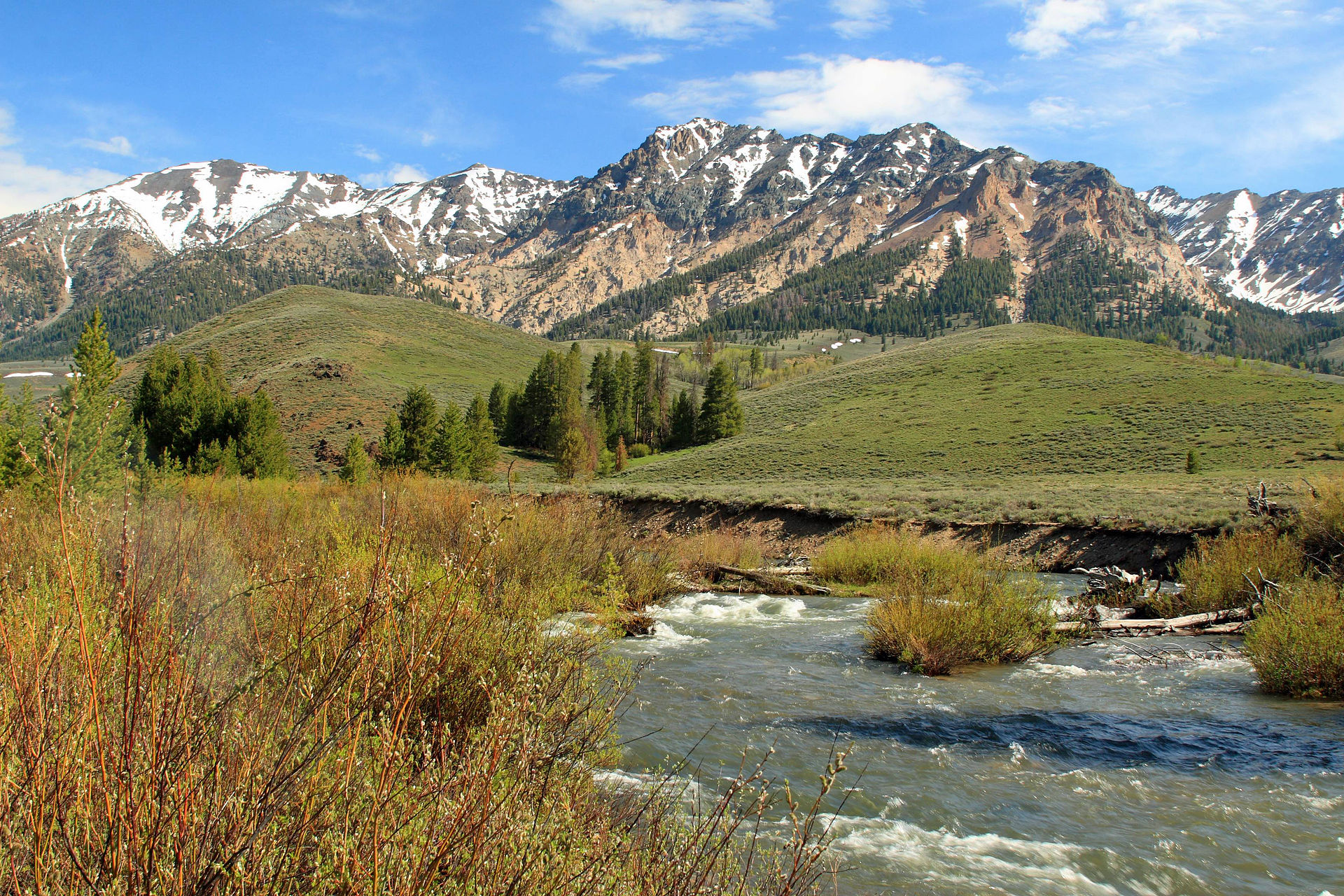
At the beginning of this trail, you will walk through grassy slopes and areas covered in Douglas fir. You will also walk through an open area where many animal prints can be seen. At 1.3 miles the trail climbs up an open hillside. It reaches a snow bank at 1.9 miles. You will have to ford a side creek at this point.
Continue walking along the trail as it goes through a forest. At about 2.5 miles, the trail becomes harder to find in the thick timber and ends after it crosses two small side creeks. At 3.5 miles there is a fork in the canyon that gives a view of a mountain peak. At the end of the trail you can continue cross-country to a trail connecting Trail Creek to the West Fork of Trail Creek. Follow along this trail if you would like to.
Directions:
From the Sawooth National Recreation Area (located 7.4 miles north of Ketchum), drive on North Fork Big Wood River Road. Turn right on the side road for the East Fork trail. When the road branches, drive down the one that is farthest right. This will curve around a steep hill and intersects two branches of the road. Go left on the more well-worn road to reach the trailhead. See directions from North Fork of the Big Wood River if needed.
Location: Hemingway-Boulders Wilderness, Boulder-White Clouds
Status: Designated wilderness
Maps: Sawtooth National Forest, SNRA, Ketchum & Fairfield District
Location
Boulder-White Clouds
Distance
7 miles round trip
Elevation
1,460 ft
Difficulty
Expert
Maps
USGS Amber Lakes, Rock Roll Canyon
Status
Proposed Wilderness
More Info
Trails of the Sawtooth and White Cloud Mountains by Margaret Fuller