
View All North / North Central Idaho Adventures
Chimney Rock
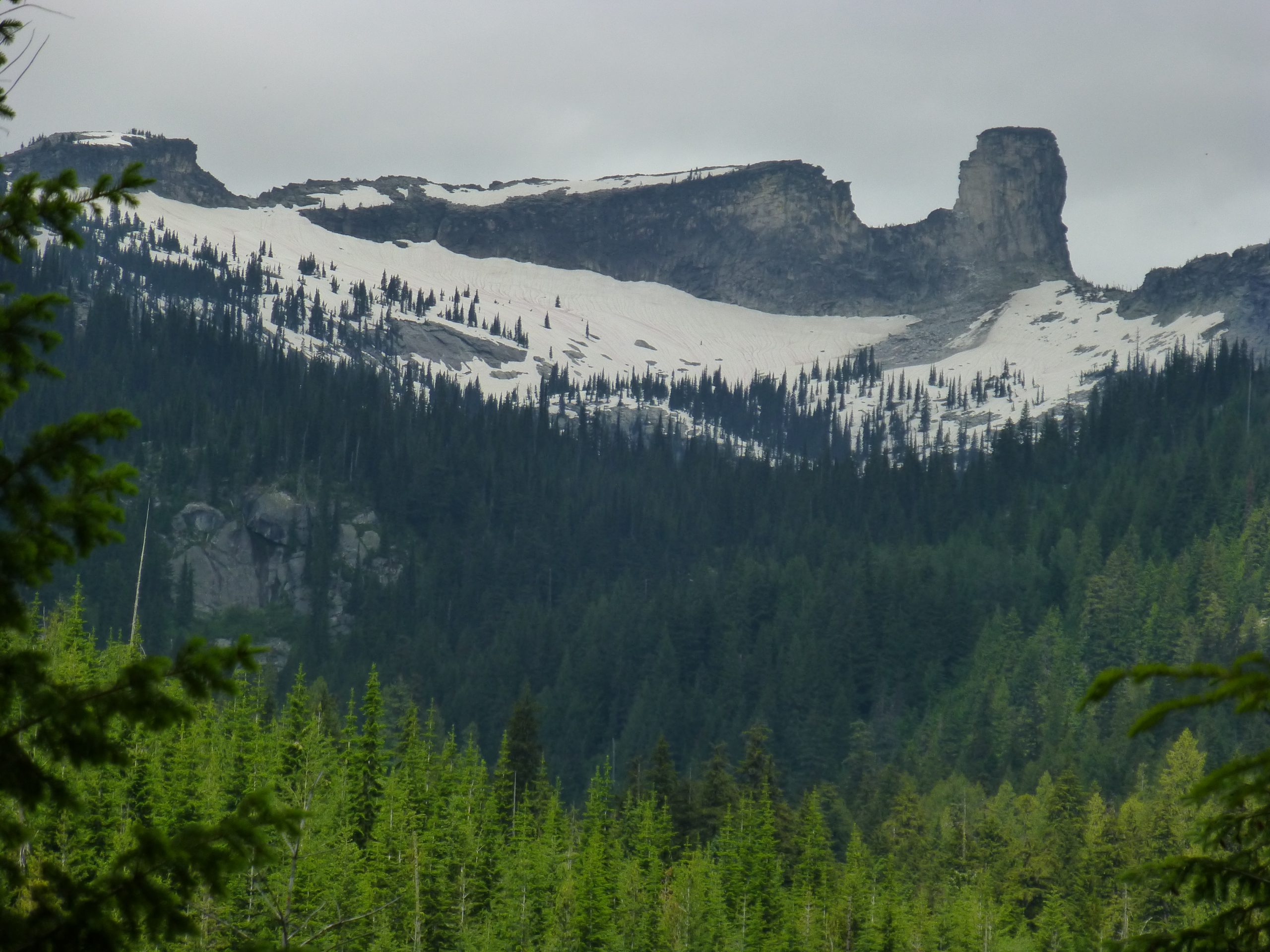
Chimney Rock is a prominent feature that straddles the Selkirk Crest. It’s seen most often by boaters on Priest Lake, but it’s far more impressive when you stand below it. The 380-foot column of granite is popular with climbers in the region and a favorite destination for area hikers.
You can get there one of two ways. The easiest trail approaches from the west on lands managed by the Idaho Department of Lands. This route offers good views of Priest Lake. But the drive to the trailhead high on Horton Ridge challenges any modern automobile.
The other route is by way of Forest Service lands on the Pack River side and much closer to the Sandpoint area. This eastern route is easier to access by car, the trailhead has recently been reconstructed, and the surrounding landscape is more pristine than clearcuts seen on the state-managed west side.
Directions:
West Route
Getting to the Horton Ridge Trailhead can be difficult. The Priest Lake State Forest is a maze of roads that are confusing to navigate. For a detailed explanation, consult Rich Lander’s guidebook, 100 Hikes in the Inland Northwest.
East Route
The approach from the east is more straightforward. From Highway 95, turn left (west) onto the Pack River Road by the gas station in the small town of Samuels. Drive approximately 17 miles in a four-wheel drive vehicle and look for the turn-off to the trailhead on the left side.
Location: Selkirk Mountains
Status: Proposed Wilderness
Maps: ICL Guide to the Selkirks; Kaniksu National Forest; or Google Maps
Location
Selkirk Mountains
Distance
4 to 11 miles round trip
Elevation
900 to 2,950 ft
Difficulty
Moderate
Maps
USGS Mt. Roothan
Status
Proposed Wilderness
More Info
100 Hikes in the Inland Northwest
http://www.sandpointonline.com/catalog/product_info.php?cPath=21&products_id=35&osCsid=cc5c8651fd6099d42b5502c1f9b5e612