
View All Central / East Idaho Adventures
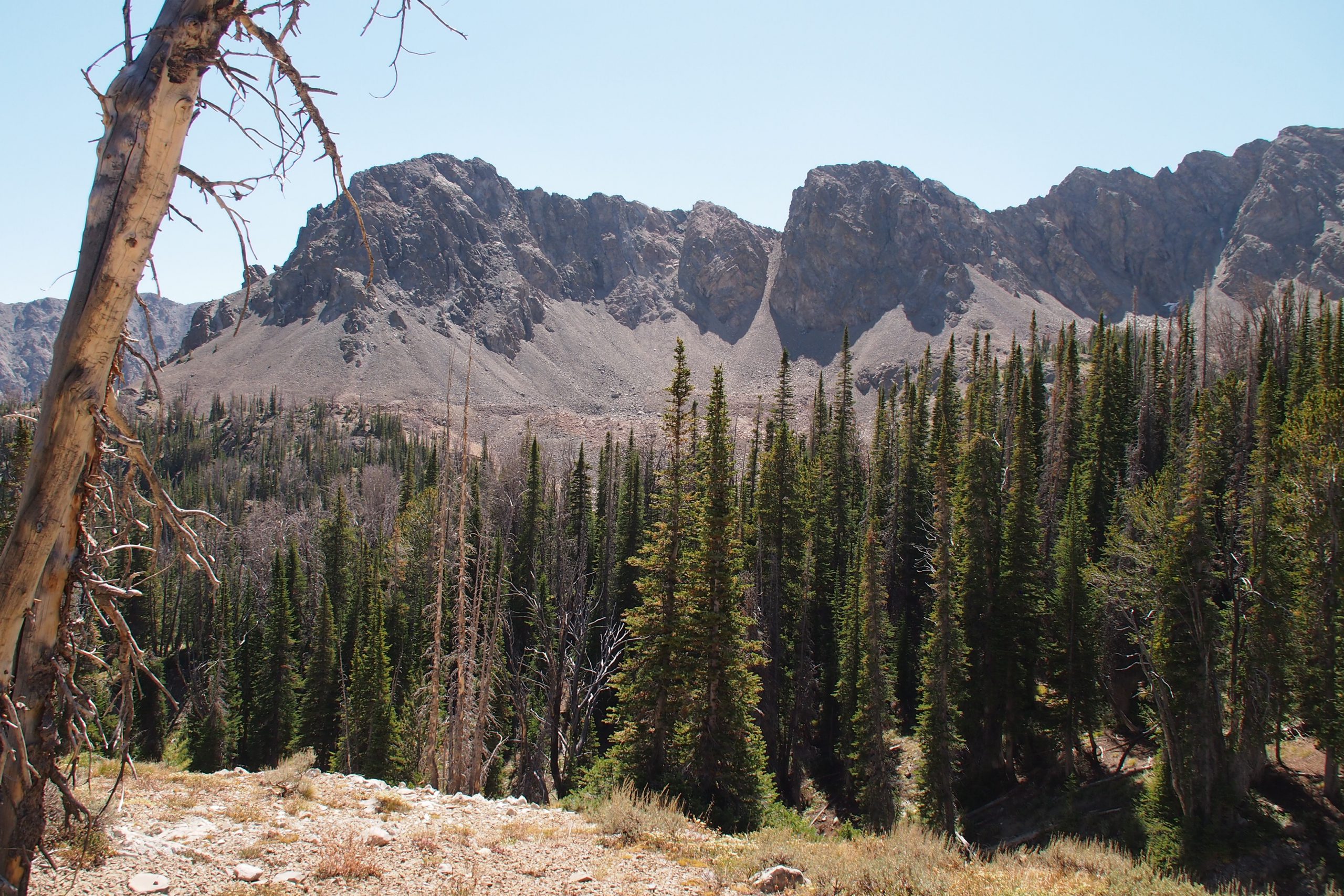
Boulder Basin
After you sign in at the registration box, hike on the road for 3 miles. There will be a fork in the road that will lead you to either Boulder City, or the largest of the boulder lakes. Going left will take you into the city and going right will take you to the lake. It’s about a ½ mile hike in either direction.
Experienced hikers can make a loop trip to Boulder City from the lake on a more difficult, yet more scenic route. Go around the lake’s north shore until you reach the outlet. Follow the stream on the north side for a while and cross the stream when you come to an old cabin. Stay to the right while you walk along the faint, steep trail to the bottom of the ridge. Boulder City is located in the basin.
Follow the streamside track out of Boulder City in order to return to the fork in the main road. When you find the road go to the right to hike back to your car.
Directions:
From Ketchum, drive north 13 miles on Highway 75 to Boulder Creek Road. Turn right on Boulder Creek Road and drive ¼ of a mile to a fork in the road where a sign says, "Boulder Basin-5." Go to the right and drive another ¼ mile to Boulder Creek. Passenger cars will need to park here in a grassy area near the creek.
Location: Boulder-White Clouds
Maps: Sawtooth National Forest
Location
Boulder-White Clouds
Distance
7 miles round trip
Elevation
1,700 ft
Difficulty
Moderate
Maps
SNRA, Ketchum & Fairfield District; USGS Easley Hot Springs, Amber Lakes
Status
Recommended Wilderness
More Info
Day Hiking Near Sun Valley